This approach is theme-independent because the map can live in a standalone static page:
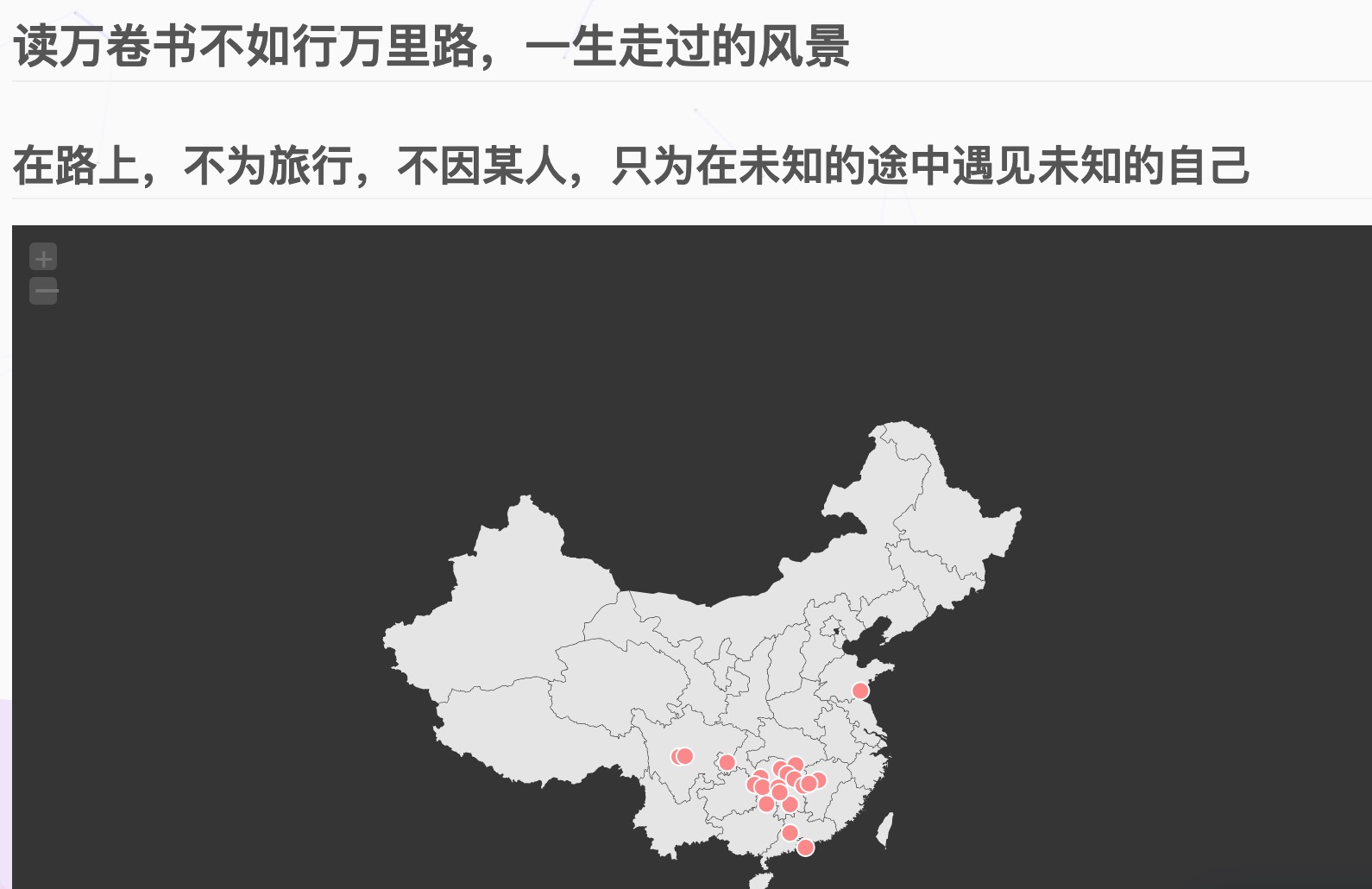
The historical implementation uses the jQuery-based jVectorMap project. Its original site and old dependencies may no longer be maintained, so self-host pinned files, review them before use, and consider a maintained SVG mapping library for a new project.
Get the example
1 | git clone https://github.com/HelloWuJiaYi/jVectorMap-Footprint |
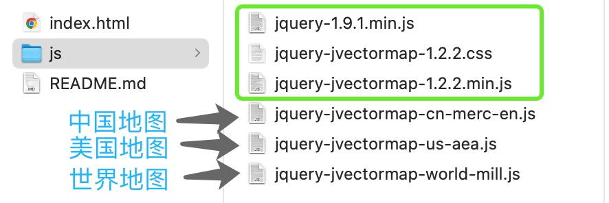
Include one map-data file together with jQuery, the library, and its stylesheet:
1 | <link rel="stylesheet" href="js/jquery-jvectormap-1.2.2.css"> |
Avoid loading several incompatible map definitions under the same name. Configure the map and markers:
1 | $('#map').vectorMap({ |
Replace the coordinates and names with places you want to publish. Consider privacy before revealing precise home, workplace, or real-time travel locations.
Copy the finished static map under Hexo’s source/ directory with rendering disabled for its raw assets, or place it in another static directory preserved by your deployment. Add a normal menu link to the generated map page.